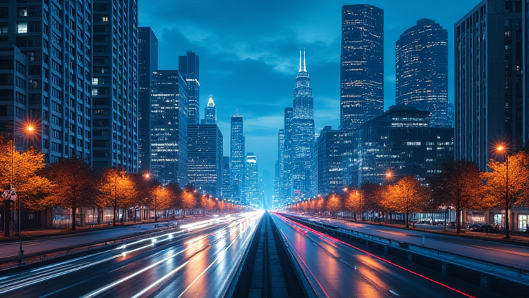
TL;DR: Digital twins—virtual replicas of physical cities—are changing how urban planners test everything from traffic flow to flood defenses, making our streets smarter and more resilient. For the everyday traveler and resident, this means fewer construction surprises, smoother commutes, and greener neighborhoods that adapt to real-time data.
The Hidden Traveler’s Ally
You’ve just landed in a new city, jet-lagged and hungry, and your ride-share app reroutes you away from a sudden road closure you never saw coming. That seamless detour isn’t luck—it’s likely the work of a digital twin. These living 3D models ingest live sensor data from traffic cameras, weather stations, and even public transit taps, allowing engineers to simulate a thousand “what-ifs” before a single jackhammer touches asphalt. For the culture-hopping traveler, this means less time stuck in gridlock and more time wandering that hidden ramen alley or stumbling upon a free rooftop jazz session.
If you want to dig deeper, check out our guide on The AI Dependency Trap: Are We Walking Into Disaster?.
Food and Culture: The Sidewalk Effect
Consider the humble sidewalk café. In Barcelona, planners use digital twins to test how outdoor seating affects pedestrian flow, noise levels, and even the microclimate of a plaza. By tweaking virtual tree canopies and café umbrellas, they can predict whether a new bistro will attract locals or just block the view of a historic mural. This isn’t abstract tech—it’s the reason your morning croissant feels unhurried, and why the busker’s guitar doesn’t get drowned out by delivery trucks. When cities run simulations on foot traffic, they’re quietly curating your cultural experience, ensuring that the “local vibe” isn’t paved over by poor planning.
Personal Growth Through Smarter Streets
On a personal level, living in a twin-enabled city nudges you toward healthier habits. Predictive models can show which bike lane expansion will cut your commute by ten minutes, or which park bench gets the most afternoon shade—data that influences where you walk, run, or meet friends. Instead of reacting to potholes and delays, you become part of a feedback loop: your smartphone’s anonymized location data helps the twin learn that a crosswalk is too slow, prompting a virtual signal retime that later becomes real. It’s a quiet lesson in agency—your daily choices, aggregated, shape the very concrete beneath your feet.
The Future Is Collaborative
This isn’t about robots replacing city halls. It’s about participatory planning. Some municipalities now let residents “walk” a proposed development in VR, using the twin to feel how a new tower would cast shadows over their favorite bookshop. That transparency fosters trust—and a sense of ownership. You stop being a passive consumer of urban life and become a co-author. Whether you’re a digital nomad hopping between twin-enabled capitals or a lifelong local, the infrastructure around you starts to feel less like cold steel and more like a shared, evolving story.
FAQ
Q: Do I need to download an app to use a digital twin?
A: No. Most digital twins work invisibly behind your existing maps, ride-share, and transit apps. You benefit from their predictions without ever seeing the 3D model itself.
Q: Will digital twins make my city more expensive to live in?
A: Not necessarily. They reduce costly construction errors and emergency repairs, which can lower long-term municipal budgets. Initial setup is pricey, but savings often come through fewer delays and more efficient utilities.
Q: Can digital twins account for unpredictable human behavior, like a street festival?
A: Yes—within limits. Planners can simulate crowd surges, vendor stalls, and even rain delays, but the twin relies on historical data. It’s a powerful forecast, not a crystal ball. Real-time sensors update it constantly, so surprises are quickly folded into the next simulation.
Leave a Reply